Magma-in-the-Ground

Swift Campout 2018: Year III

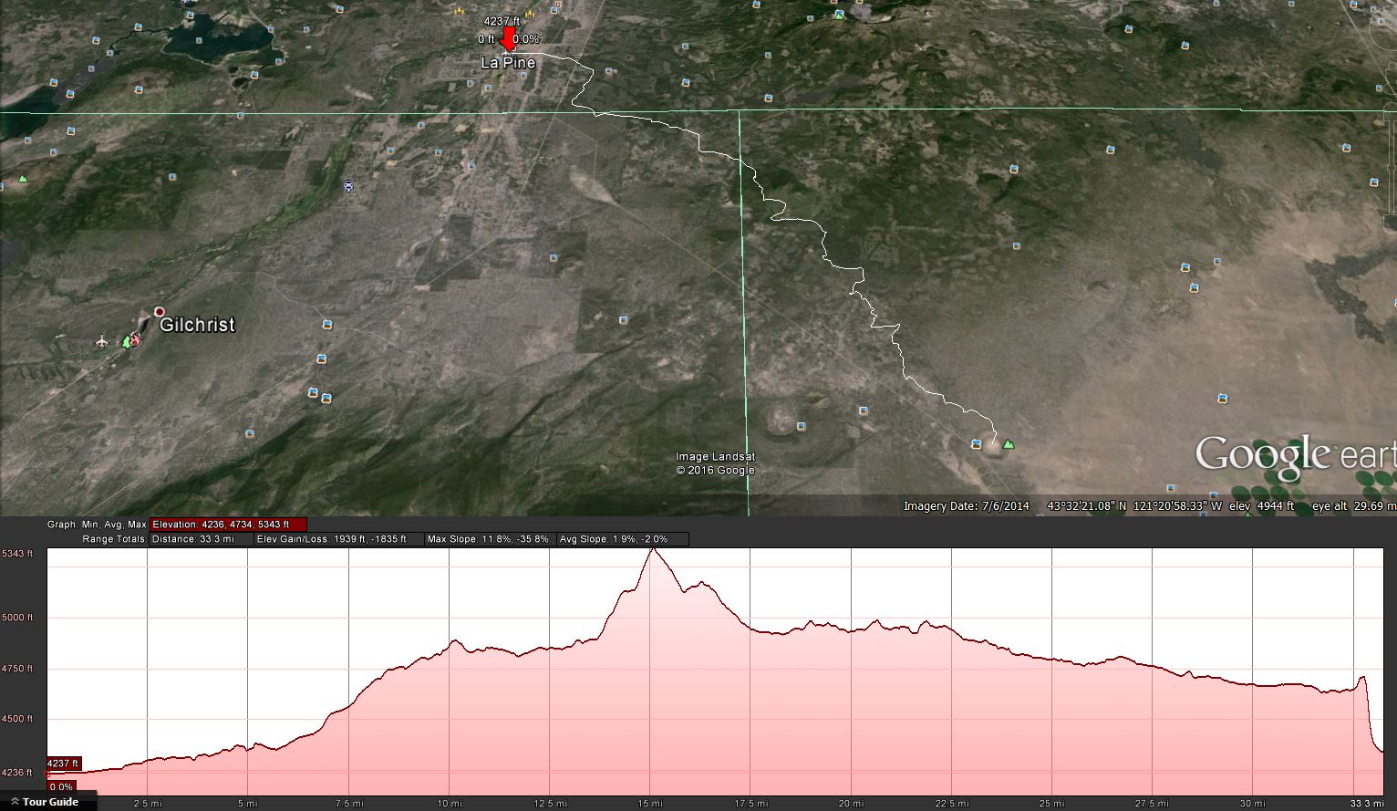
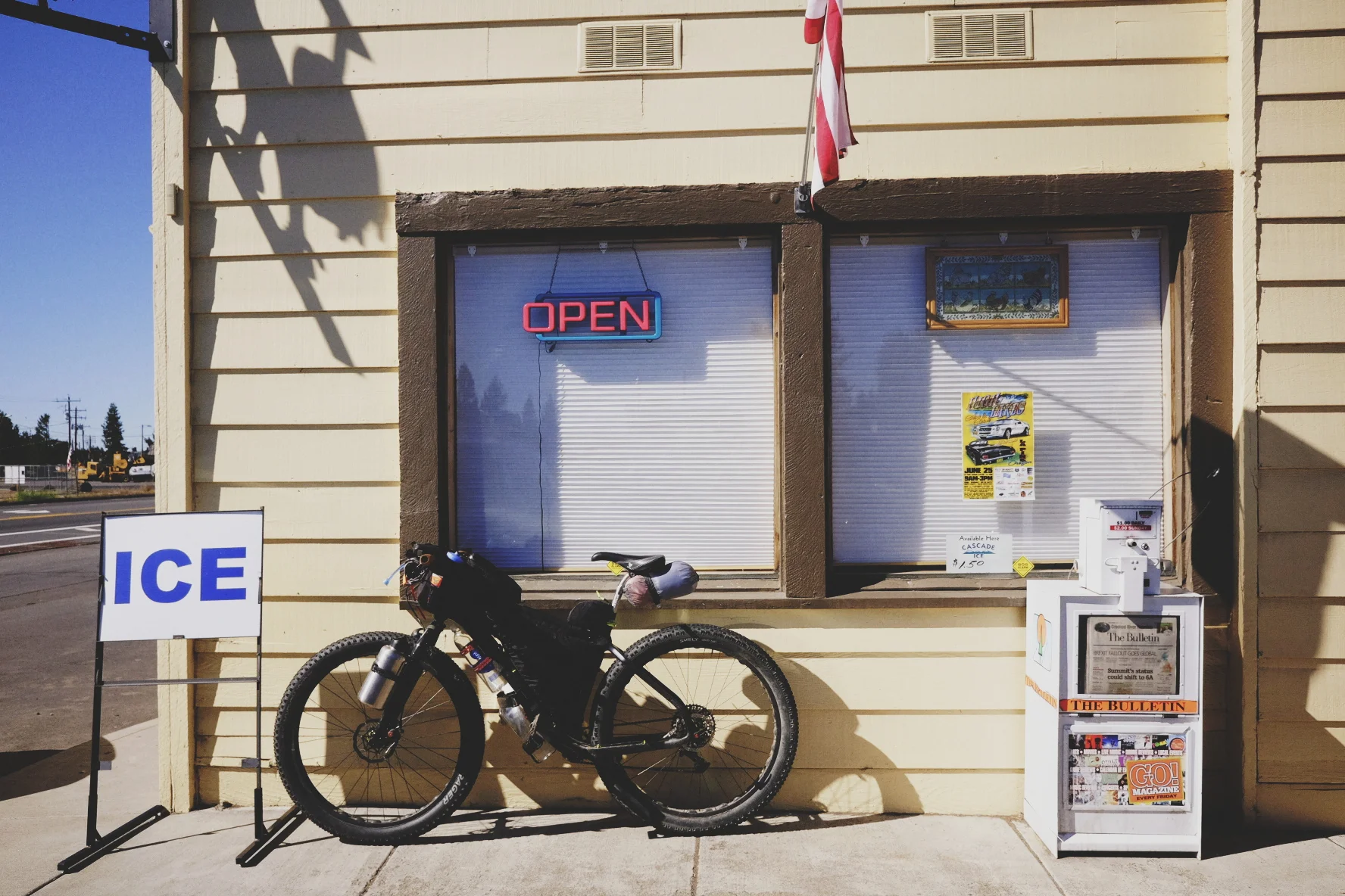
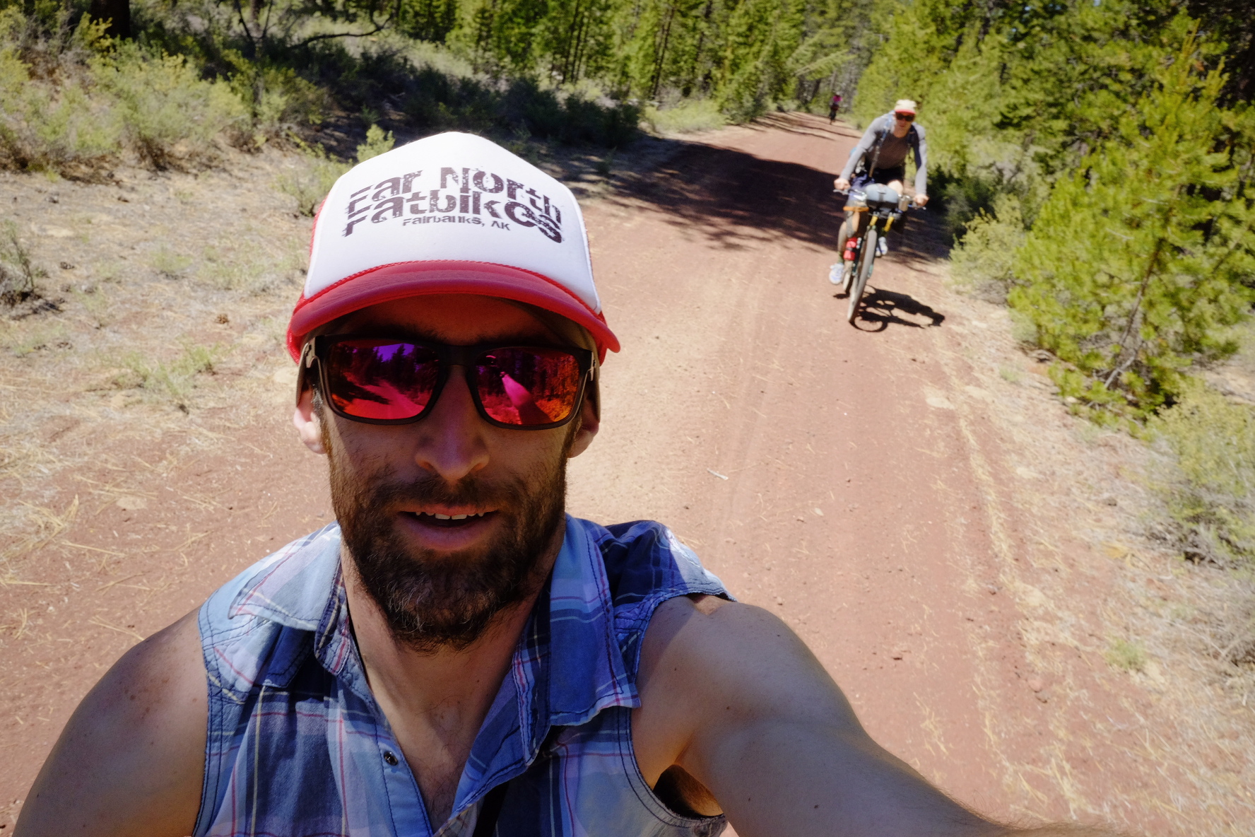
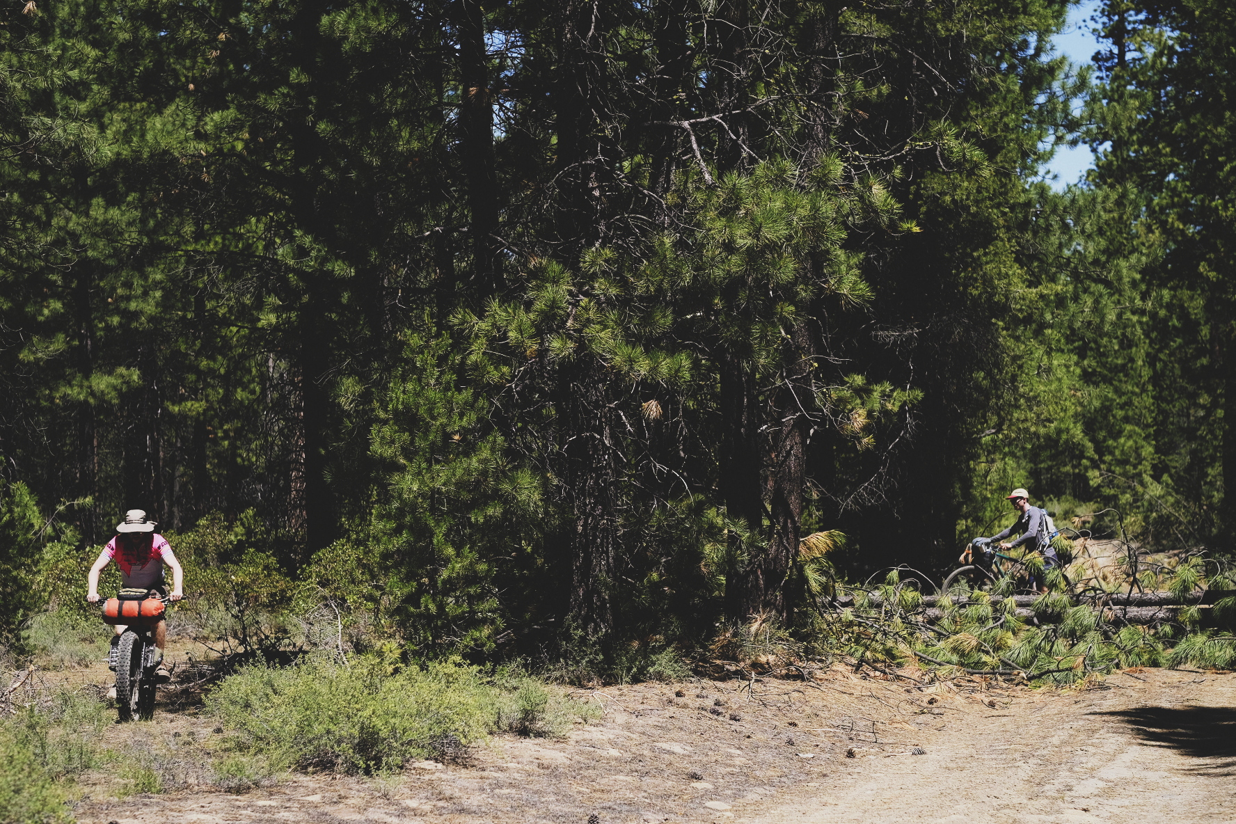
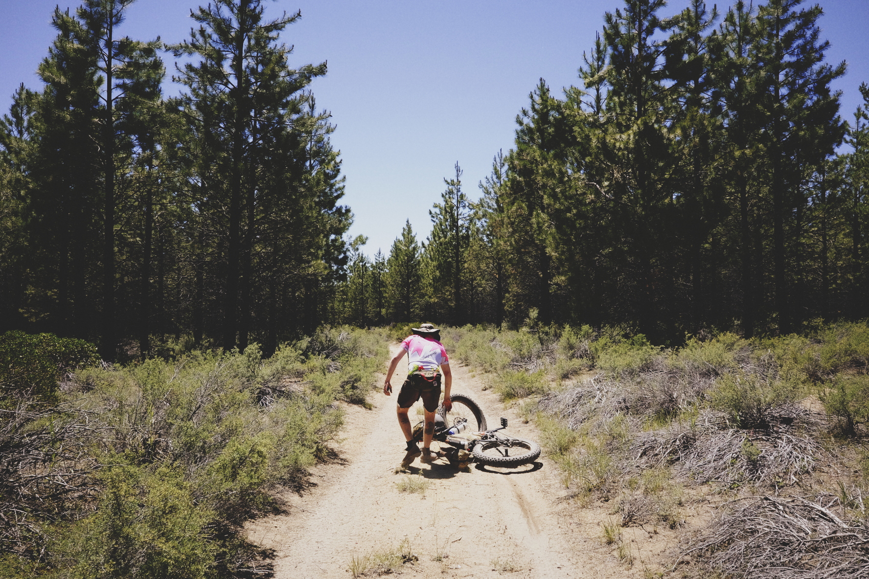
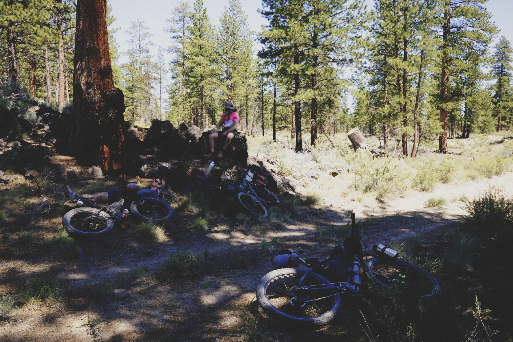
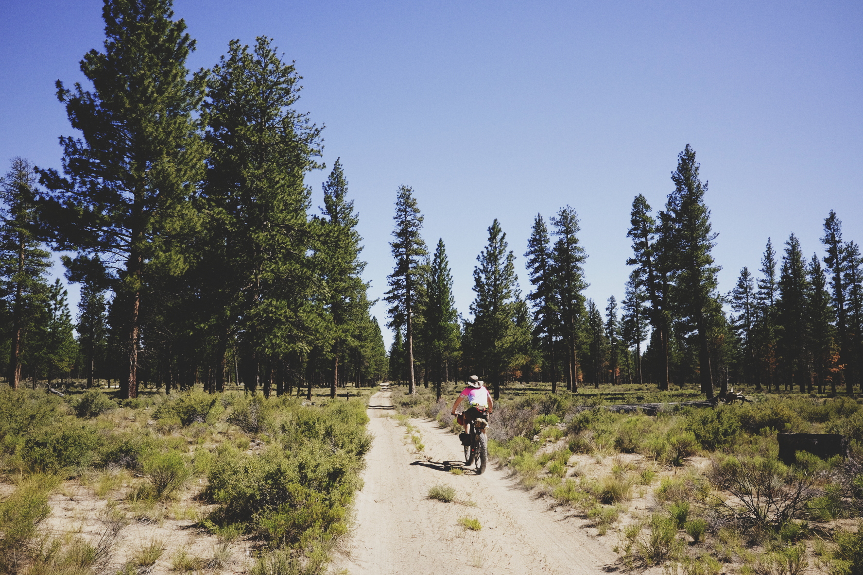
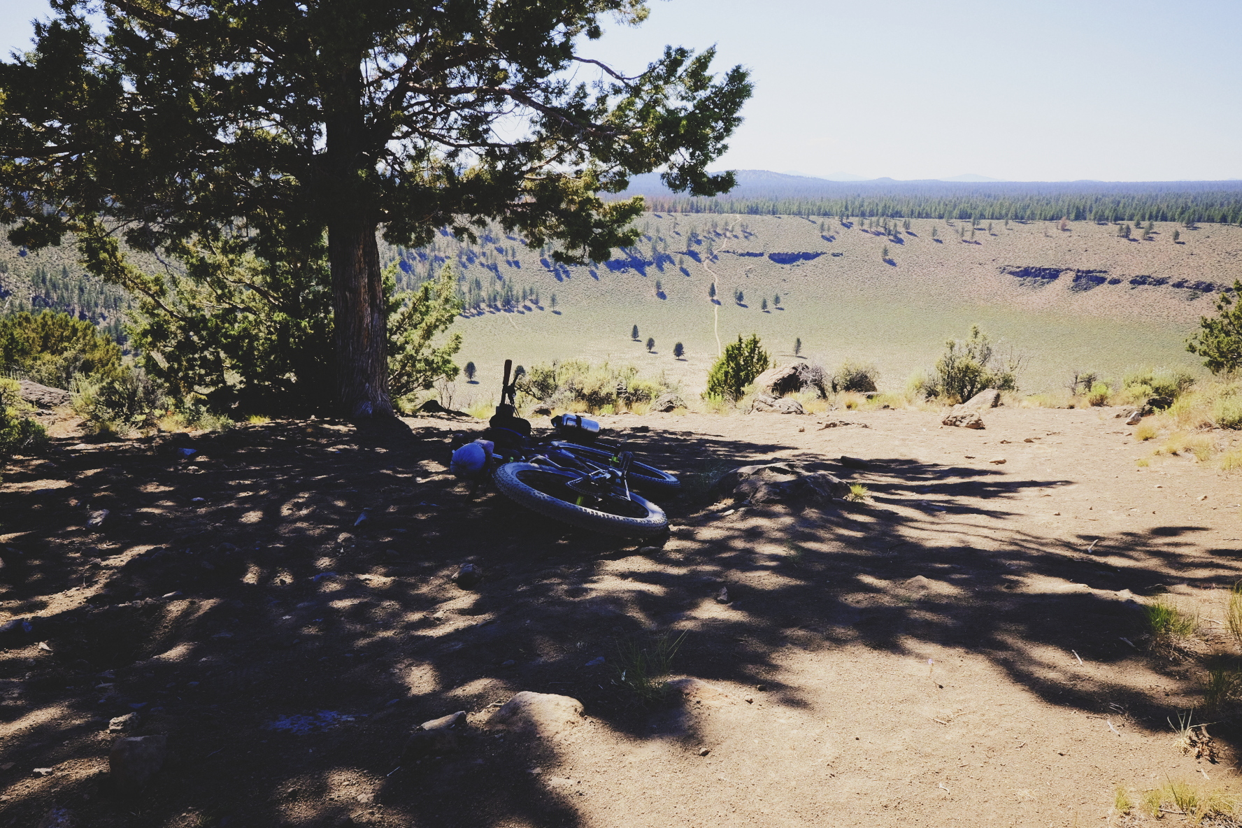
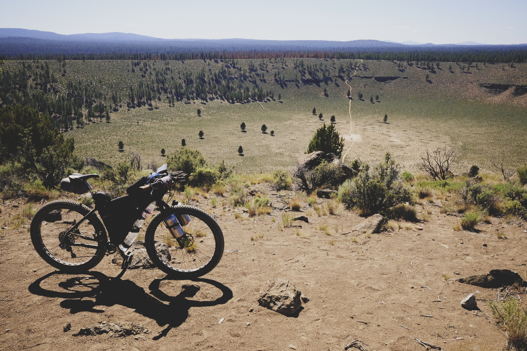
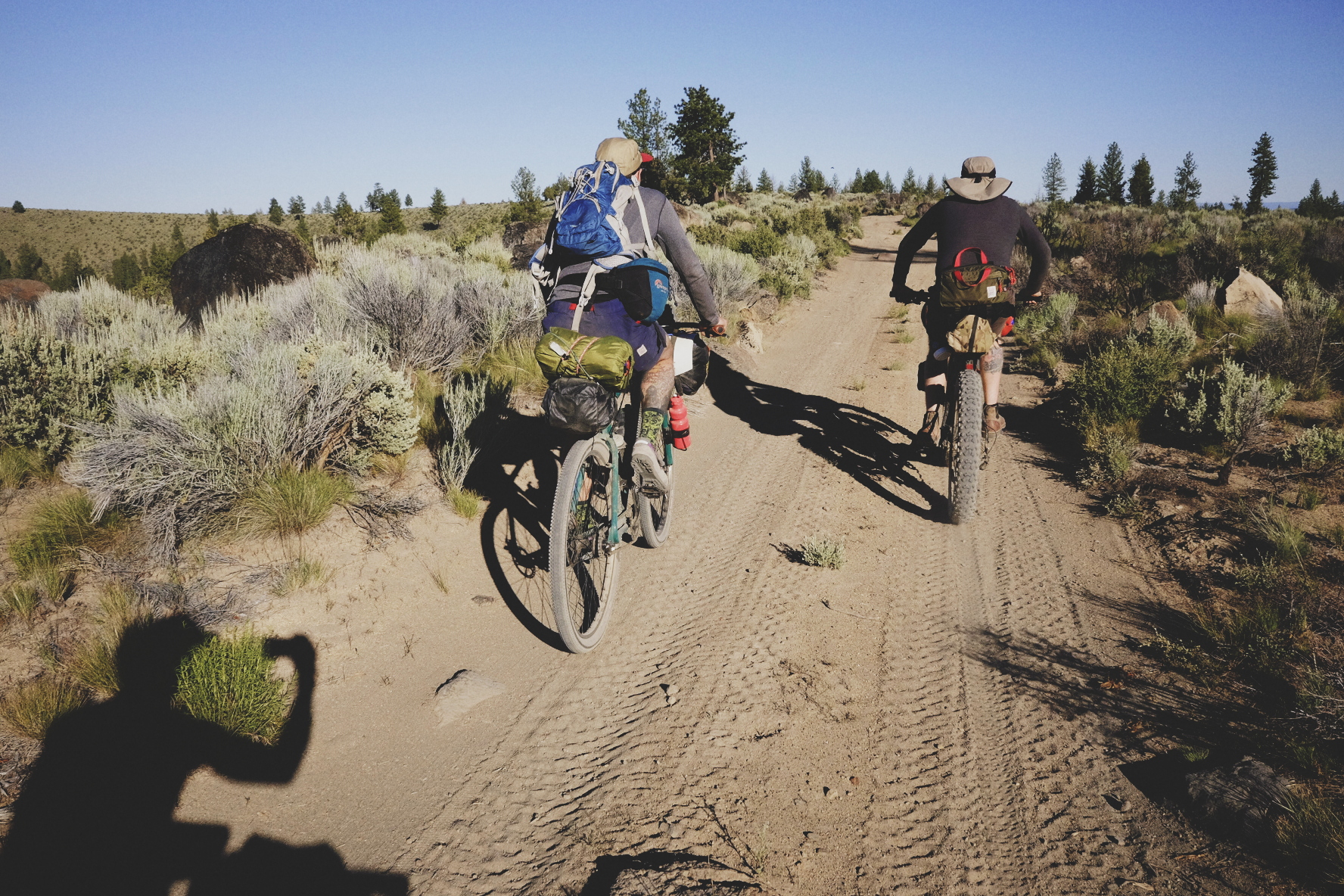
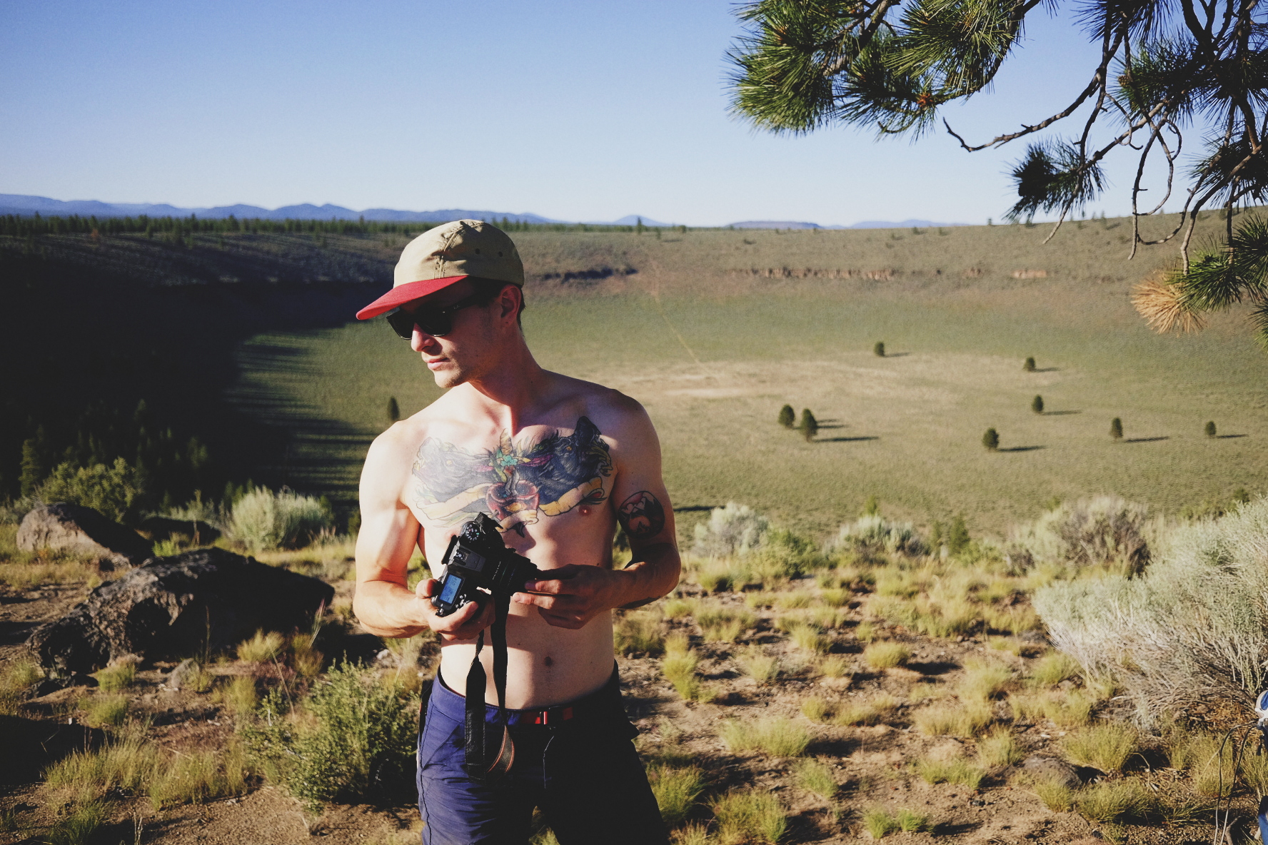
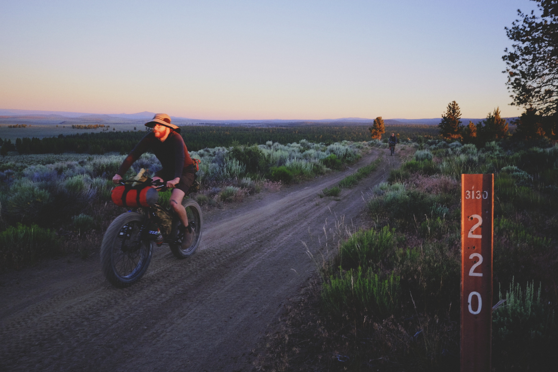
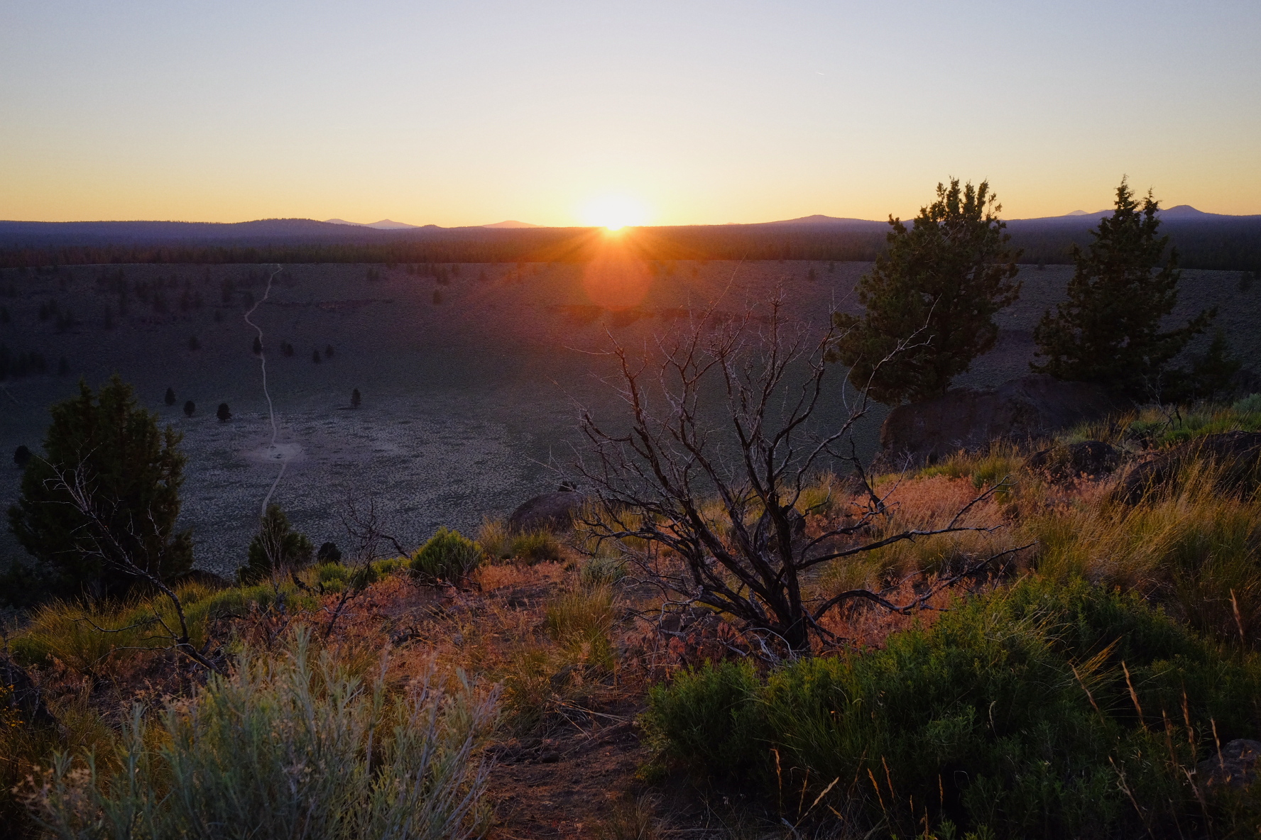
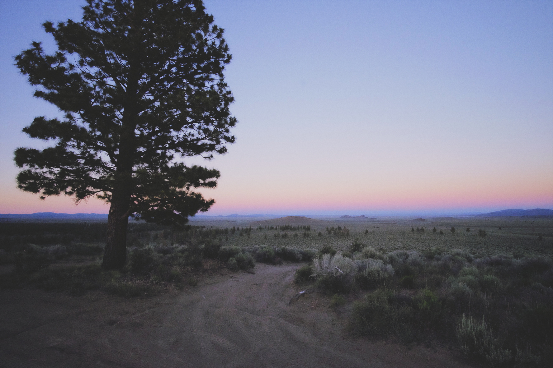
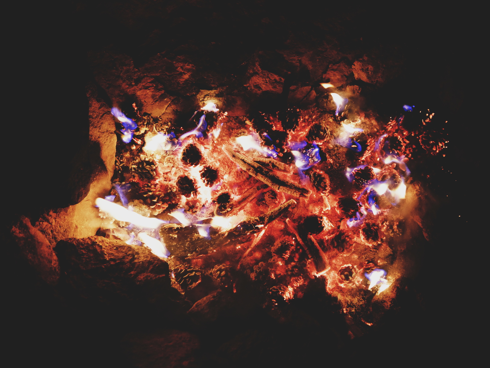
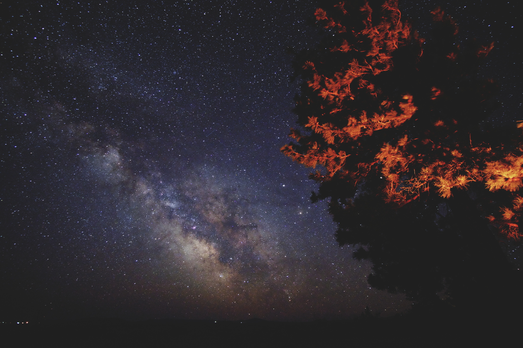
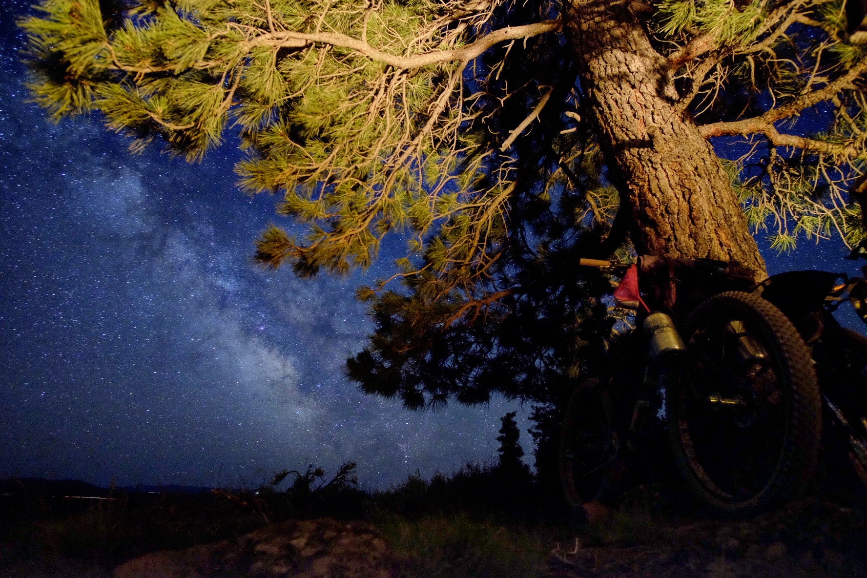
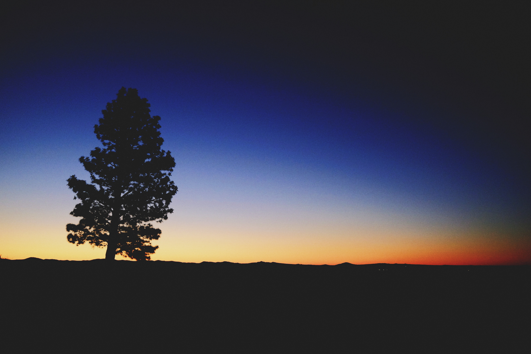
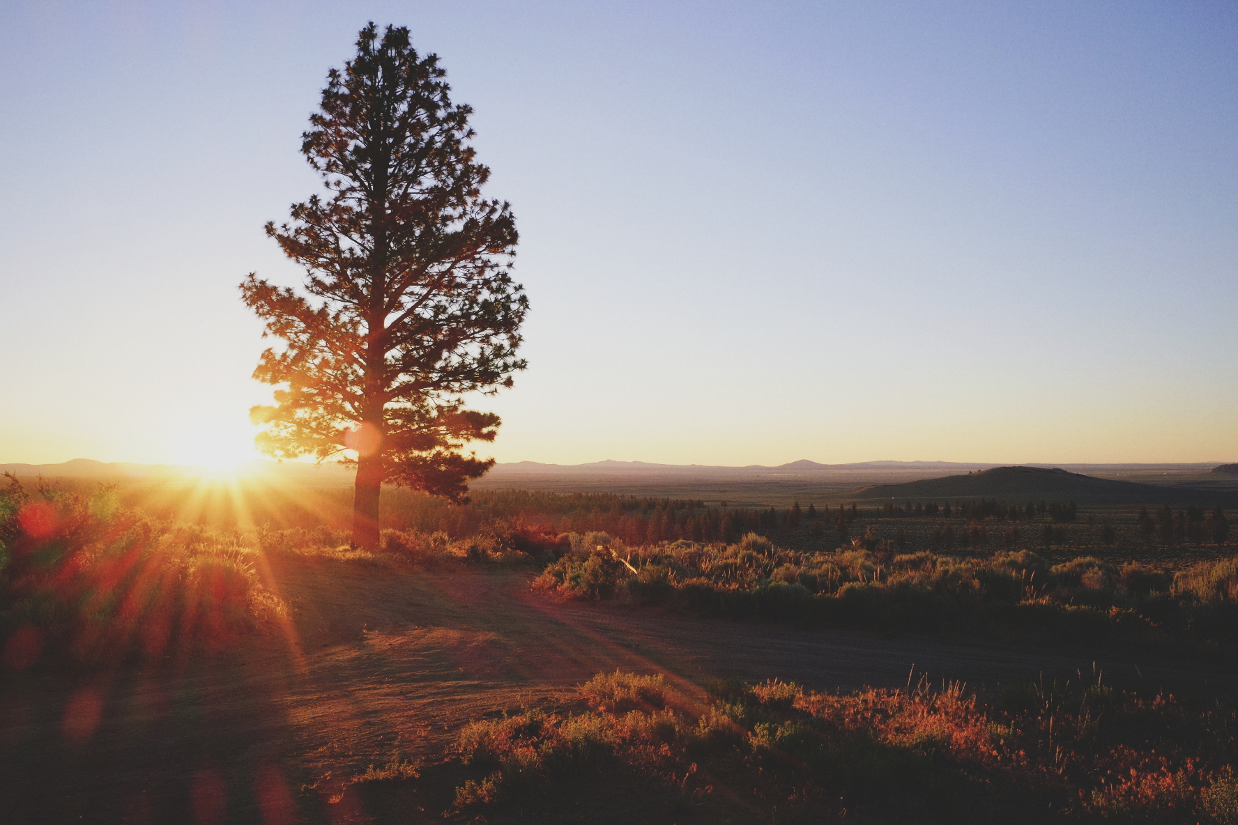
A return to the central Oregon desert, keeping the '-in-the-Ground' theme. We rode 97% dirt across 125 miles with 17,000ft of elevation change. The route took us up and into a very seismically and geothermally active volcano, along singletrack on the rim, past one of the world's largest glass deposits (obsidian), on the volcano rim to camp, down more rim trail singletrack, down the volcano into and across the pine and sagebrush desert, up into and for the night at a lookout tower for sunset and sunrise, in the depths of a huge lava tube cave in complete darkness, and to the base of Oregon's largest juniper tree.
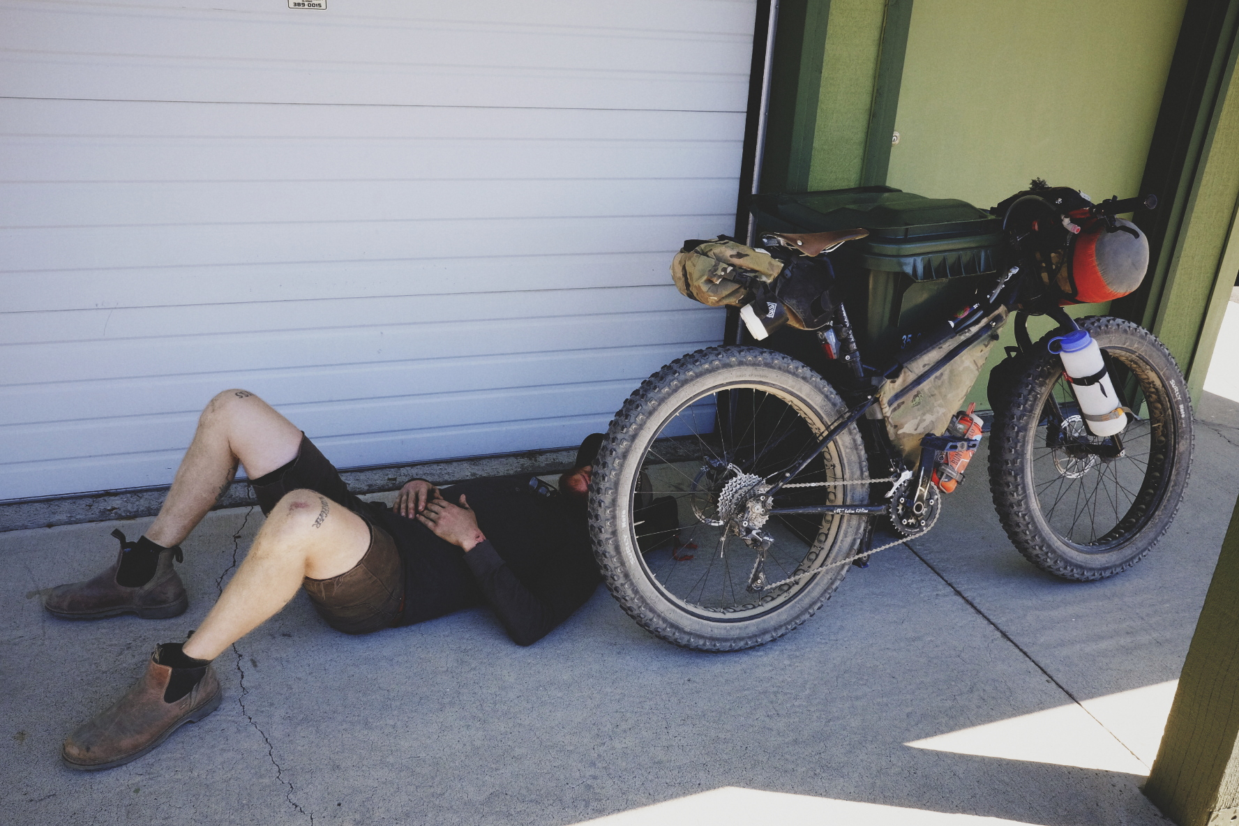
It was epic.

Read all about it in the Exposure story.

Bikepacking to a Hole In The Ground

Dan mentioned he was going to bikepack from La Pine, Oregon to Hole in the Ground for the 2016 Swift Campout and said I should come. He's a really cool cat that I haven't been able to hang out with enough lately and the trip sounded pretty cool, so I had to make it happen. Plus, I was in need of some bike camping time. The route is just west of the Oregon Outback route near Fort Rock that I had ridden in 2014 and I really liked that area. It was going to be in the mid- to high-80s in the central OR desert, with lows in the mid-40s, so I figured I could get away with packing pretty darn light for such warm temps. Although, I'd need A LOT of water, as there would be no resupply.

I chose my carbon Salsa Beargrease with 29+ for this trip as I have mostly ridden 29+ on my Mukluk Ti and I wanted to see the differences in ride quality for bikepacking/dirt touring. It turned out to be an excellent choice and I love the bike even more now. I took off the Bluto and put on the Bearpaw 150 fork with cage mounts for water hauling. The downtube bottle holster is a velcro-on fire extinguisher holster I got at an auto parts store that I had slightly tweaked. Works great with the wide carbon frame. Bottle above it is attached with Revelate Designs Washboard Straps. Frame bag by Reveleate Designs, as well. All in all, I carried 9L of water, including a 2.5L Platypus bag with hose in the frame bag. Sleeping pad strapped on the bars and bivy & Mountain Hardwear Ghost Whisperer hooded jacket under the seat, all using Washboard Straps. No shelter, bag/quilt, stove, water filter, rain gear...
Best of all - NO BACKPACK!

Dan asked me to make a GPS route and after looking at the map, I mentioned we could just take the powerline trail to and from HITG. He said, 'Loops and zigzags are always just fine too.' So, he got his damn zigzags. We did deviate from this track a bit, but for the most part, that was our route. 33ish miles out, 25ish miles back. 91% dirt with a 1/4 mi hike-a-bike, which was avoidable. Many of the trails on the ground were not on the map I was using in Backcountry Navigator Pro. I had used Google Earth to make a track and saved it as a .kml file, emailed it to myself, downloaded on my phone, and put it into BC N Pro. The app worked great except for LOTS of jumping around (constant 180º flipping) while riding. While stopped, it was excellent. Anyone know why it flips constantly like that? I'm used to a Garmin teeter-tottering back and forth 20º at most, but certainly not entirely the opposite direction. It made navigating very confusing, as I had to constantly re-determine which way we were even traveling when riding.
 

We spent the first night cowboy camping in the national forest just east of La Pine, as we arrived after dark.
We watched UFOs and I howled for wolves. We woke up to 32º and frost. It was magical.

The next morning, we found a place to park at a great diner. Good breakfast + parking = success.

This was Rob's first bikepacking trip, so he was rightfully pretty excited.

Dan kicks up some dirt for the photo.

Dan was pretty excited about wearing his Fat Chance jersey.

Red dirt, similar to that on the Oregon Outback route.

Rob wore his like-new 1980s Shimano bike shoes. He had good style and I was taking notes.

Happy to be rolling on dirt, in the woods, with two great dudes.

Around

Over

Only a couple short sections of soft sand got the best of Rob's 2.1 in tire single speed. Pretty admirable.

These 750mm bars were a touch too wide for truly comfortable dirt touring (and also unnecessary), but the extra space did allow for my phone to be mounted outside the space of the feedbags (bottle on L, X70 on R). Alas, the glare of the plastic of the case made it harder to see the screen in the strong sun. I'd prefer the phone be mounted in normal portrait orientation for navigational purposes. I'll be looking into a mount extension off the bars or stem and Quad Lock mount to do this. The sleeping pad never moved. The cork PDW ergonomic grips were great. Don't ever forget to smile.

A known/expected brief hike-a-bike section left blood running down our legs. Super dry deserty brush and sticks are very stiff and sharp. Hike-a-bike on this route is avoidable, with all the trails, but we just didn't want to turn around since the road was so close and what's a trip without some hike-a-bike?

Much appreciated.

Fort Rock and the Oregon Outback route in the background.

Hole in the Ground!

Rob on the east (and highest) side of the rim.

Riding around the rim, on the west side here.

Hole in the Ground

Rob is a master image maker and Muy Thai kickboxing champion.

Pine cones burn really well! No wood needed, no flying embers, and very hot fire with good coals for cooking.

Dan sports his 2015 Swift Campout bandana

Obligatory

Golden hour

Around the rim trail, heading north on the east/high side.

I love the pink glow of sagebrush country, opposite the sunset.

Swift Campout Sunset

Dan enjoying the fire as the last glow on the horizon fades.

Pine cone fire

Probably the darkest sky I've ever seen, which includes multiple Dark Sky Parks, Alaska, and Hawaii.

The Milky Way was visible from horizon to horizon, making it the first time I actually wished I had a 180º lens.

Fire and the Milky Way

I slept in just a SOL (no, not shit out of luck) Escape Bivy, which is both breathable and heat-reflective, but as I found out, also not fully windproof. If it weren't for the wind, I'd have slept warm and soundly, instead of waking up every two hours to stoke the fire and rewarm. I'm glad I decided to bring my sleeping pad.
Morning wake up at 0430.

View from inside my bivy.

Fort Rock only about 8 miles away.

There were a few soft and steep, but short, climbs on the powerline trail back to La Pine.

Rob was able to ride almost everything on his single speed 2.1in 29er.

I think Dan had enough sun for one weekend.

We rode, we talked conspiracies, we saw UFOs, we told stories around fire, we cowboy camped, and we made memories. Cheers, guys.
@arrowswest / @__daniel_ray / @staysanesleepoutside

This is a great beginner's trip, an awesome overnighter, and is a great blend of fun dirt riding with some interesting things along the way to keep it fresh. If I were going to recommend this trip to anyone, which I absolutely do(!!!), I'd say take 4L of water to go from La Pine to Fort Rock, 8 miles past Hole in the Ground (~40 mi ride), and get dinner and resupply on water at the bar in Fort Rock. Then turn around after you're well fed and saturated and go camp on the summit of the Hole in the Ground rim, on the east side. Then ride the 25+ miles back to La Pine the next day on the powerline trail or via a slightly different route back through the woods on two-track trails and red dirt roads. It's an excellent 24 hour overnighter and I'm very happy Dan asked me to go along. Thanks for the great trip, Dan & Rob!

Go bikepacking. Stay sane. Sleep outside.

All images taken with Fuji X-T1 using Rokinon 12mm f/2 & Fuji 56mm f/1.2 and Fuji X70.